
Mount Faber Singapore at a Glance
| What to Know | Details |
|---|---|
| Location | Mount Faber, near HarbourFront |
| Park size | 56 hectares |
| Main hiking route | Marang Trail |
| Marang Trail length | 700 m |
| Marang Trail time | About 15 minutes uphill |
| Highest point | Faber Point |
| Main viewpoint | Faber Point |
| Key landmarks | Mount Faber Merlion, Mural Wall, 1971 Tree Planting Day tree |
| Cable car | Mount Faber Line to HarbourFront and Sentosa |
| Southern Ridges | Connects to Henderson Waves and other parks |
| Best for | Short hikes, views, heritage and cable car rides |
| Park opening | 24 hours |
| Closest MRT for Marang Trail | HarbourFront MRT |
| Trail difficulty | Moderate to challenging |

What Makes Mount Faber Singapore Worth Visiting?
It is one of those places where a short visit can pack in far more than you might expect. You can climb a forested trail, reach a summit overlooking the harbour, examine murals about Singapore's history and then take a cable car towards Sentosa.
What makes it especially worthwhile is the way these experiences are connected. It is not simply a hilltop viewpoint or a park. It is also an important link in the Southern Ridges and a place where several layers of Singapore's history remain visible.
One of Singapore's Oldest Hilltop Parks
The park covers 56 hectares and is one of Singapore's oldest parks. Its present-day landscape sits on a hill that has served very different purposes over the years.
Before it became Mount Faber, the hill was known as Telok Blangah Hill. Its elevated position made it useful for signalling ships, and a signal station and flagstaff were established here in the 19th century.
Today, that history remains alongside recreational features such as:
- Marang Trail, the main forested approach from HarbourFront
- Faber Point, the park's highest point
- Mural Wall, depicting Singapore's transformation
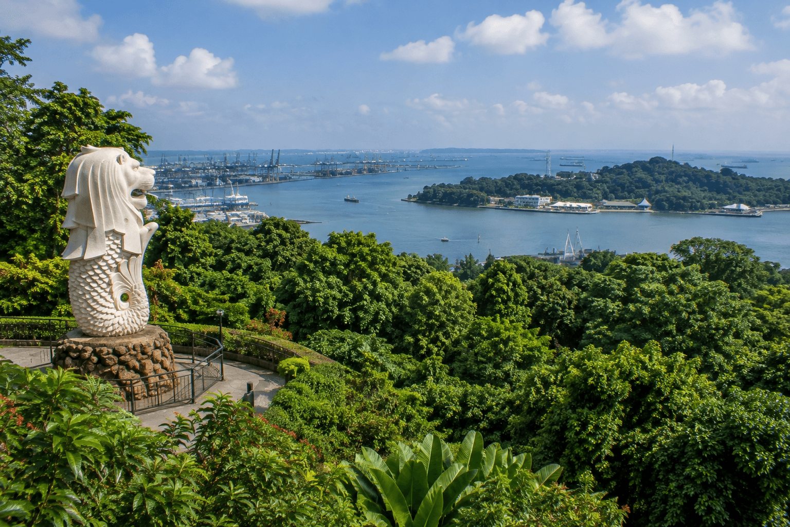
- Mount Faber Merlion
- Faber Walk, a route around the summit
- Access to the Singapore Cable Car
So while the park now feels like a place for walking and sightseeing, its location and elevated terrain have been important to Singapore long before it became a leisure destination.
The Views That Make Mount Faber Different From Other Parks
The main reason to climb the hill is the view from the top. At Faber Point, the landscape opens towards Keppel Harbour, the southern coastline and the Southern Islands. Depending on where you stand, you can also look towards Sentosa and the surrounding port landscape.
The view is particularly interesting because you're not looking over an uninterrupted natural landscape. It gives you a high vantage point over one of Singapore's busiest coastal areas, creating a sharp contrast between the forested hill and the harbour below.
If you want the viewpoint without committing to the longer Southern Ridges route, the hill works well as a standalone stop.
How Mount Faber Connects Nature, History and the Southern Ridges
It is also one of the starting points for exploring the Southern Ridges, a 10-km network linking several parks and green spaces across southern Singapore.
From Mount Faber, you can continue towards Henderson Waves and then onwards to Telok Blangah Hill Park, HortPark and Kent Ridge Park. This gives you two very different ways to experience the area:
| If you want... | Best option |
|---|---|
| A short hike and viewpoint | Marang Trail + Faber Point |
| History and landmarks | Faber Point + Mural Wall |
| A longer nature walk | Continue from the hill into the Southern Ridges |
| A different route to Sentosa | Take the Singapore Cable Car |
| A mix of everything | Marang Trail → Faber Point → Southern Ridges or Cable Car |
That flexibility is a major part of the hill’s appeal. You can spend around an hour exploring the summit, or use it as the first stop on a much longer route through southern Singapore.
Climb Mount Faber via Marang Trail
If you want to experience the hill on foot, Marang Trail is the most direct route from HarbourFront. It is short enough to fit into a quick outing, but the climb is steep enough that you will notice the elevation gain.
Where the Marang Trail Begins
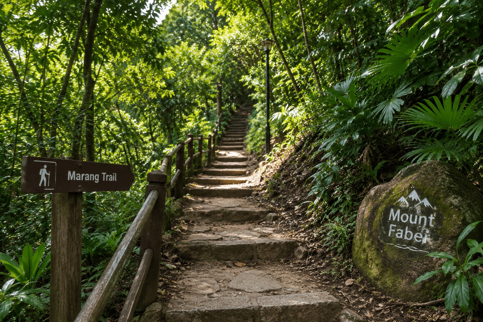
Marang Trail starts near Seah Im Food Centre, close to HarbourFront MRT. From the lower entrance, the route heads uphill towards the park through a secondary forest.
The starting point is useful for visitors arriving by public transport because you can go directly from the HarbourFront area into the trail rather than first walking around the park.
The basic route is straightforward:
Seah Im area → Marang Trail → Mount Faber Park → Faber Point
What the Short but Steep Climb Is Like
Marang Trail is approximately 700 metres long and climbs about 70 metres. NParks estimates the uphill walk at around 15 minutes, but the distance can be misleading because much of the route involves stairs and an uphill gradient.
| Trail detail | Marang Trail |
|---|---|
| Length | About 700 m |
| Elevation gain | About 70 m |
| Approx. climb time | 15 minutes |
| Difficulty | Moderate to challenging |
| Surface | Pathways and stairs |
| Main destination | Mount Faber Park |
You don't need hiking equipment for the trail, but comfortable shoes make the climb considerably easier. If you've just arrived from HarbourFront and expect a flat park walk, the first steep sections may come as a surprise.
What You See as the Trail Rises Through the Forest
The interesting part of Marang Trail is that the climb begins close to a busy urban area but quickly becomes surrounded by secondary forest.
Look out for trees such as rubber, Angsana, and Saga, along with the birds that use the forested slope.
Birdwatchers may spot species including:
- Greater Racket-tailed Drongo
- Black-naped Oriole
- Black Baza
- Oriental Honey Buzzard
The trail itself does not have a succession of major viewpoints. Instead, the experience is about moving from the built-up HarbourFront area into the forest and gradually gaining elevation.
Once you reach the top, continue towards Faber Point for the open views. That's where the effort of the climb pays off.
Discover Faber Point at Mount Faber Singapore
At the top of the park, Faber Point gives you the clearest reason to make the climb. This is the summit area where the forest opens out, and the view stretches towards Singapore's southern coastline, harbour and islands.
It is also where several of the hill’s most recognisable landmarks are grouped, so you can see more than just a panorama.
The Highest Point of Mount Faber Park
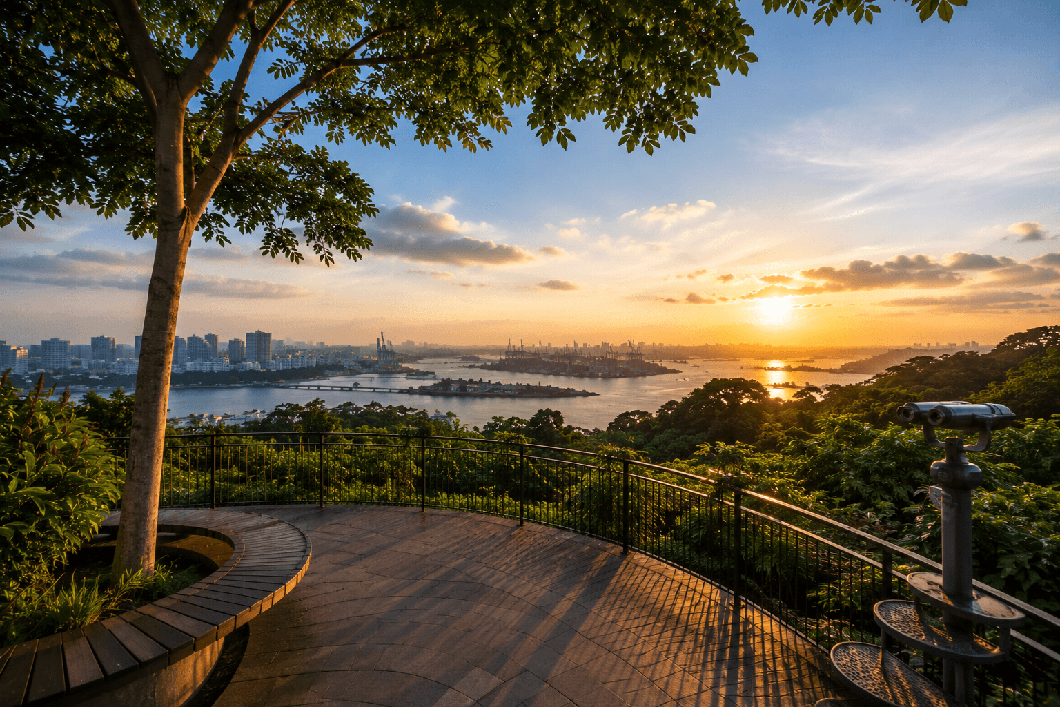
Faber Point marks the highest point of Faber Park. After climbing Marang Trail, follow the paths through the summit area to reach the lookout. The elevation gives you a different perspective of the surrounding city.
Instead of looking across a conventional park landscape, you can see Keppel Harbour, Sentosa and the Southern Islands from above. If you're visiting specifically for the view, Faber Point is the place to prioritise.
The Panoramic View of the Harbour and Southern Islands
The outlook from Faber Point is especially interesting because of the contrast between the hill and the developed coastline below. Depending on visibility, you can look across:
- Keppel Harbour
- Sentosa
- Singapore's southern coastline
- The Southern Islands
- The surrounding urban landscape
For photography, the viewpoint is worth visiting when the air is clear. Haze can reduce visibility considerably, so the quality of the view can vary from day to day.
The Mount Faber Merlion and Tree Planting Day Tree
Two landmarks make the summit more than a place to stop for photographs. The Mount Faber Merlion stands about 3 metres tall at the summit. It is one of the smaller Merlion statues in Singapore, but its position overlooking the harbour makes it a distinctive feature of the park.
Nearby is a mature rain tree planted by Dr Goh Keng Swee in 1971, during Singapore's first Tree Planting Day. The event marked the beginning of a national tree-planting movement that became closely associated with Singapore's greening efforts.
You can therefore see three different sides of the hill within a relatively small area: the modern city represented by the view, Singapore's national symbols represented by the Merlion, and the country's greening history represented by the rain tree.
Look for the History Hidden Around Mount Faber
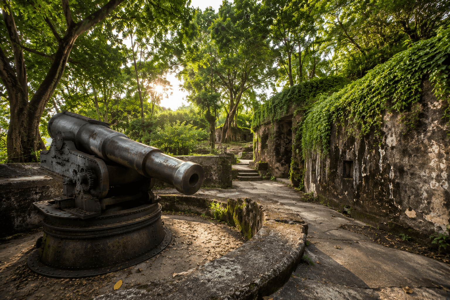
Its history is easy to miss if you come only for the view. The hill was once known as Telok Blangah Hill, served as a signalling point for ships, gained military importance, and later became a public park. Several features around the summit still tell parts of that story.
The Murals Telling Singapore's Transformation
One of the easiest historical features to find is the Mural Wall near Faber Point. The wall contains a series of murals showing Singapore's development from a fishing village into a modern international hub.
Rather than presenting history through dates and text alone, the artwork uses scenes of everyday life, industry and urban development to show how dramatically the landscape changed. Take a few minutes to look at the individual scenes rather than treating the wall as a single photo backdrop.
It adds useful context to the harbour and city views you see from the summit.
The Area's Past as a Nutmeg-Growing Landscape
Nutmeg is another part of the area's colonial-era history. The surrounding Telok Blangah area was associated with nutmeg cultivation during Singapore's early plantation period.
Although the landscape has changed considerably, a nutmeg tree near Mount Faber Plaza at Henderson Waves provides a physical reminder of that agricultural past. It is a small detail, but one worth noticing if you're continuing from Mount towards Henderson Waves.
Heritage Features Worth Noticing on a Walk
The hill's history extends beyond the murals and name change. Its high position gave it several practical uses over the years.
| Historical feature | Why it mattered |
|---|---|
| Signal station | Helped communicate with ships approaching Singapore |
| Flagstaff | Used for maritime signalling |
| Fortifications | Military defences were developed on the hill after the 1857 Indian Mutiny |
| Observatory | An observatory was established on the hill in 1905 |
| Mural Wall | Depicts Singapore's transformation through time |
| 1971 rain tree | Marks Singapore's first Tree Planting Day |
Take the Singapore Cable Car from Mount Faber
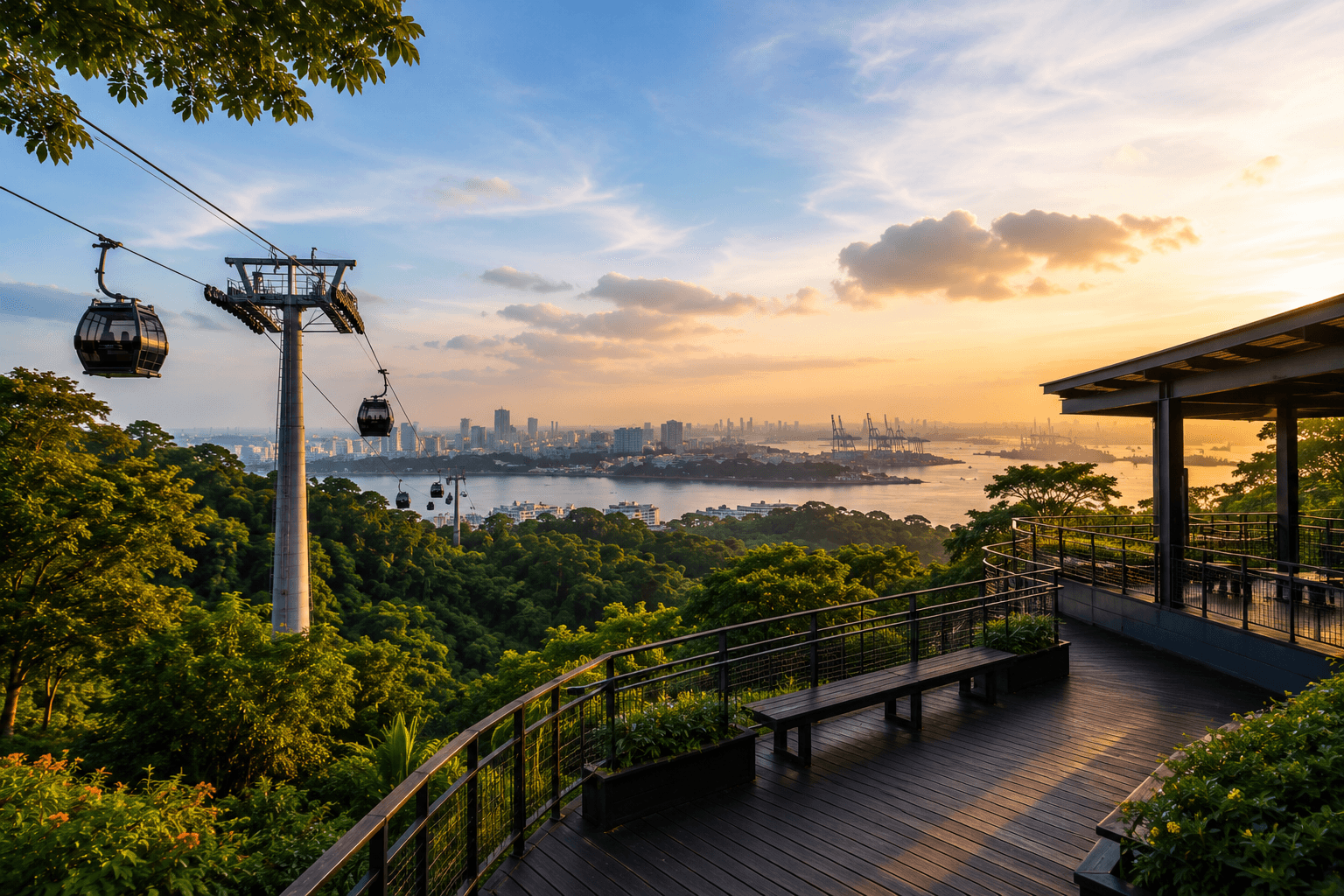
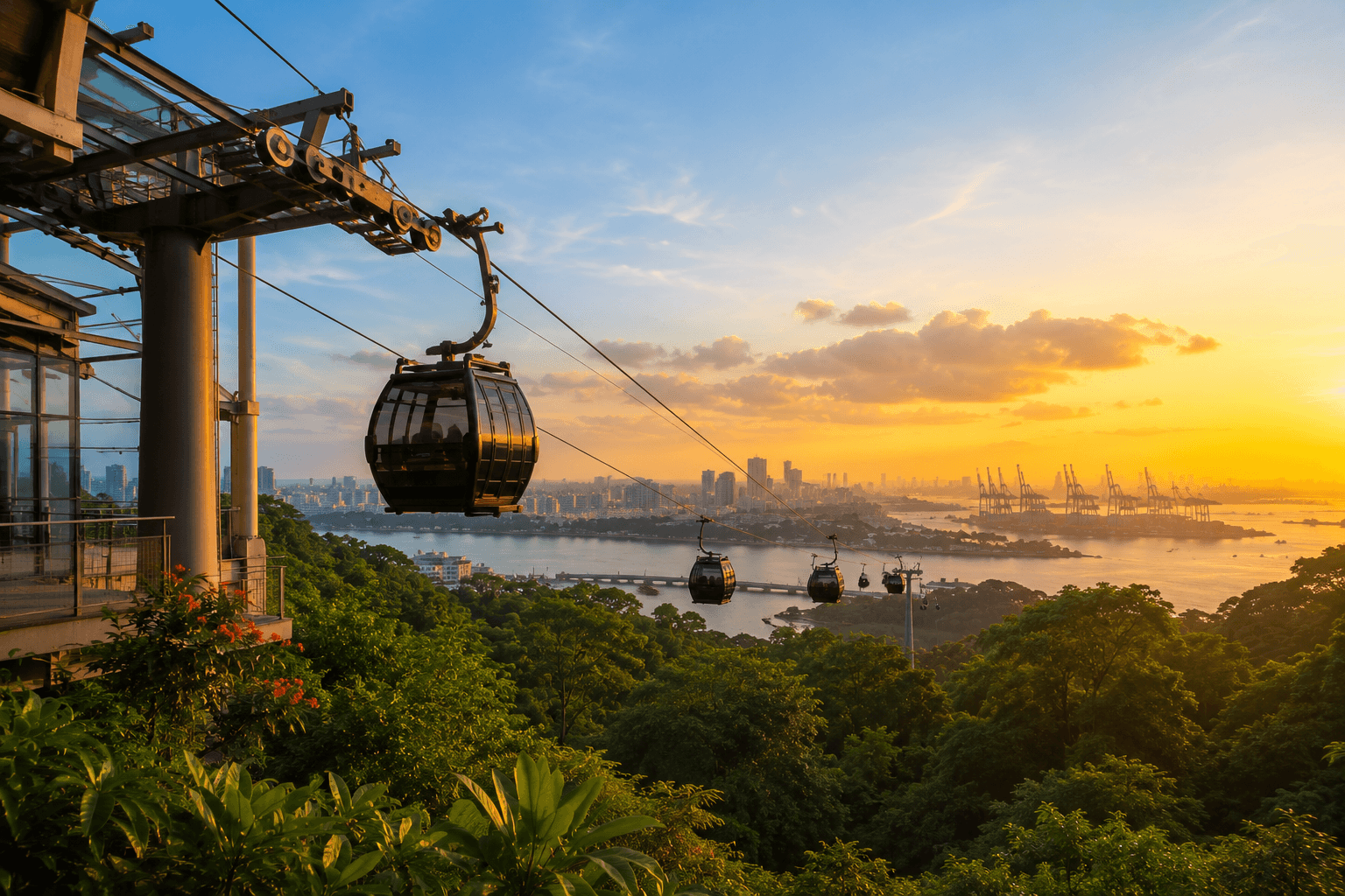
The Singapore Cable Car is one of the easiest ways to turn a Mount visit into a wider southern Singapore itinerary. After exploring the summit, you can board at Mount Faber Station and travel across the harbour towards Sentosa rather than returning to HarbourFront.
Where Mount Faber Fits into the Cable Car Journey
Mount Faber is the starting point of the Mount Faber Line, which has three stations: Mount Faber → HarbourFront → Sentosa The Mount Faber station is at the hill's peak, close to the summit attractions.
That location makes it particularly useful after visiting Faber Point, because you can move from the park to the cable car without making a separate journey.
The cable car also gives you a different perspective of the area you've just explored. Instead of looking out from Faber Point, you're viewing Mount and the harbour from above as the cabin moves along the route.
Mount Faber to Sentosa by Cable Car
The Mount Faber Line crosses Keppel Harbour before reaching Sentosa. From the cabin, you'll get elevated views of the harbour, ships, and the densely developed waterfront.
The route is especially useful if Sentosa is your next stop. You can avoid going back down to the HarbourFront area simply to transfer to another mode of transport.
For a sightseeing-focused visit, the sequence works well:
| Stage | What you do |
|---|---|
| Start | HarbourFront MRT |
| Walk | Climb Marang Trail |
| Explore | Faber Point, Merlion and Mural Wall |
| Continue | Walk to Mount Faber Peak |
| Ride | Mount Faber Line towards Sentosa |
| Finish | Continue your Sentosa plans |
Combining the Cable Car With a Mount Faber Walk
The best part is that the cable car and Marang Trail don't compete with each other. They can make one itinerary feel much more complete.
- For a hike + Sentosa combination: climb Marang Trail, explore Faber Point, then take the cable car to Sentosa.
- For a Southern Ridges walk: continue on foot from Mount towards Henderson Waves instead of boarding the cable car.
- For a shorter Mount Faber visit: skip Marang Trail, reach Mount Faber Peak directly, explore the summit and take the cable car afterwards.
This gives you a simple choice based on how much walking you want to do. The cable car works best as part of the route, not as a separate attraction you need to squeeze into your trip. Before you go, check the current operating hours, ticket prices, and any temporary service closures, as these can change.
Continue from Mount Faber Along the Southern Ridges
It is not the end of the walk. It is one of the main starting points for the Southern Ridges, a 10-km network of parks, trails and elevated walkways linking several green spaces in southern Singapore. That means you can treat it as either a short standalone outing or the first section of a much longer walk.
Walking from Mount Faber to Henderson Waves
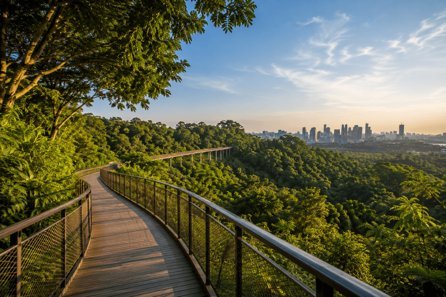
From the mount, one of the most popular extensions is the walk towards Henderson Waves. The route takes you from the summit area towards Telok Blangah Hill Park, with the distinctive wave-shaped pedestrian bridge becoming the main landmark along the way.
Henderson Waves sits about 36 metres above Henderson Road, making it the highest pedestrian bridge in Singapore. Its timber-look deck and curved steel structure are very different from the forested paths around Mount Faber.
If you are already at Mount Faber, this is one of the easiest ways to extend your visit without committing to the entire Southern Ridges route.
Where Faber Walk Fits In
Faber Walk forms part of the Mount Faber section rather than being the same thing as the full Southern Ridges trail. The approximately 800-metre route takes you around the summit area, connecting key points around it.
A simple way to understand the progression is:
Marang Trail → Mount Faber Park → Faber Point → Faber Walk → Henderson Waves → Telok Blangah Hill Park
You can stop after Faber Walk if you only want to explore it, or continue towards Henderson Waves if you want a longer walk.
How Far Should You Walk?
You don't need to walk the entire 10 km to experience the Southern Ridges.
| Your plan | Suggested route | Time to allow |
|---|---|---|
| Short outing | Marang Trail + Faber Point | About 1 hour |
| Mount Faber + Henderson Waves | Mount Faber → Faber Walk → Henderson Waves | About 1.5–2.5 hours |
| Longer Southern Ridges walk | Mount Faber → Henderson Waves → HortPark → Kent Ridge | About 3–5 hours |
| Full route experience | Continue across the connected Southern Ridges parks | Half day or longer |
The longer route is better suited to walkers who are comfortable spending several hours on their feet. It also requires more planning because you will be moving through multiple parks rather than returning to your starting point.
For most first-time visitors, Faber plus Henderson Waves is a good middle ground. You get the summit, views, forested walking and Singapore's most recognisable pedestrian bridge without turning the day into a full-length hike.
Planning Your Mount Faber Singapore Visit
The hill visit can be as short as an hour or become a half-day Southern Ridges walk. The key is deciding your route before you arrive, especially if you want to combine Marang Trail, Faber Point and the cable car.
Getting to Mount Faber from HarbourFront MRT
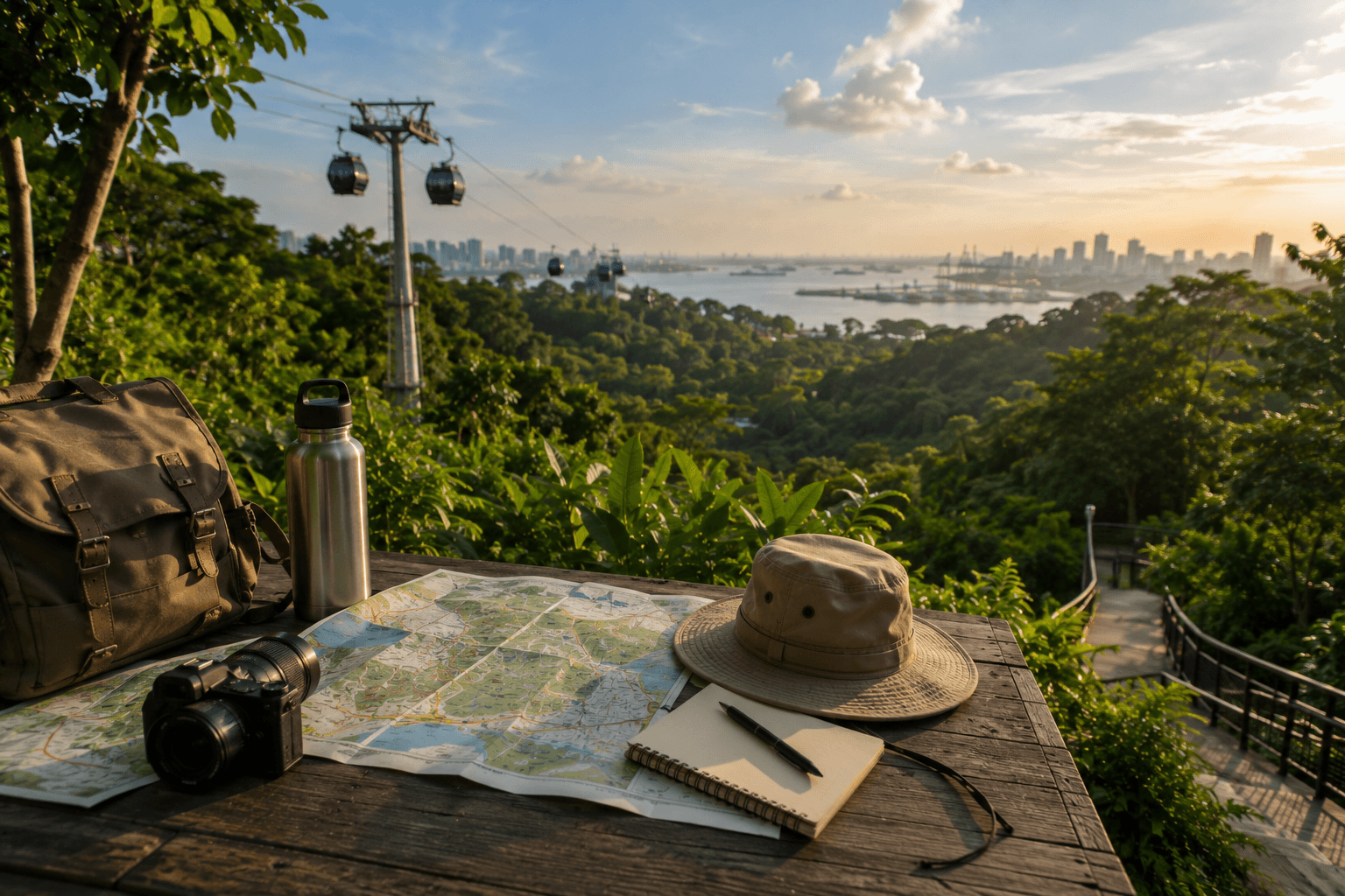
For the Marang Trail, HarbourFront MRT is the most convenient starting point. From the station, walk towards the Seah Im area and the trail entrance near Seah Im Food Centre.
If you don't want to climb the Marang Trail, you can reach Mount Faber Peak by road or take the cable car from HarbourFront.
Your choice depends on the type of visit you want:
- Want the hike? Start at HarbourFront and use the Marang Trail.
- Want the viewpoint without the climb? Go directly to Hill Peak.
- Heading to Sentosa afterwards? Consider taking the cable car from the hill Station.
How Long Do You Need for the Park and Marang Trail
You don't need a full day for the hill itself.
| Visit | Suggested time |
|---|---|
| Marang Trail + Faber Point | About 1 hour |
| Mount Faber + murals + summit | 1–2 hours |
| Mount Faber + Henderson Waves | 1.5–2.5 hours |
| Mount Faber + cable car + Sentosa | 2–4 hours, depending on your Sentosa plans |
| Mount Faber + longer Southern Ridges walk | 3–5 hours |
The 15-minute Marang Trail estimate only covers the climb. Give yourself additional time for Faber Point, the Mural Wall, photographs, and the walk around the summit.
When to Go for Cooler Weather and Better Views
For the most comfortable climb, early morning or late afternoon is preferable to the middle of the day. Marang Trail is exposed to Singapore's heat in parts, and the 70-metre ascent can feel harder in humid conditions.
Early morning and evening can also be better for birdwatching. Species recorded around the hill include the Black Baza, Oriental Honey Buzzard, Chinese Sparrowhawk, Changeable Hawk-Eagle and White-bellied Eagle.
For the clearest views from Faber Point, weather matters more than a fixed "best time." Hazy conditions can reduce visibility across the harbour and Southern Islands.
Parking, Facilities and Accessibility
If you're driving or planning a longer visit, these practical details are worth knowing:
- Parking: Several car parks are available around the hill, and parking is free.
- Toilets: Available within the park and summit area.
- Shelters: Useful for taking a break during the climb or walk.
- Food and drinks: Food and beverage options are available around the hill peak.
- Cable car: The hill station is located at the hill peak.
- Accessibility: The park is not wheelchair accessible, and Marang Trail's steep sections and stairs make it unsuitable for wheelchair users.
- After dark: Marang Trail is not lit, so avoid using it as a late-night walking route.
Is Mount Faber Singapore Worth Visiting?
The hill is worth adding to your itinerary if you want a short hike with a proper payoff rather than spending hours on a trail. The climb is brief, Faber Point gives you a clear reason to reach the summit, and the park adds enough history and heritage features to make the visit more than a walk uphill.
Best for Viewpoints, Nature and a Short Hike
It works particularly well if you want several experiences without committing to a full-day hike. You can:
- Climb the 700 m Marang Trail
- Reach Faber Point, the summit
- See the Mount Faber Merlion
- Explore the Mural Wall
- Walk around the summit on Faber Walk
- Take the Singapore Cable Car afterwards
The short distance is also useful for travellers who want a taste of Singapore's forested landscapes without taking on a long trail. Just don't mistake the short trail for an effortless one. The 70 m elevation gain and stairs make Marang Trail a genuine uphill walk.
Who May Prefer the Full Southern Ridges Route?
If your main goal is hiking rather than sightseeing, it can be your starting point instead of your final destination. Continue from the summit towards Henderson Waves, then through Telok Blangah Hill Park and onward towards HortPark and Kent Ridge Park. Choose the longer route if you want:
- Several hours of walking
- Multiple connected parks
- Forest and elevated pathways
- Henderson Waves and other Southern Ridges landmarks
- A point-to-point hiking experience rather than a short summit visit
If you only have limited time, there is little reason to force yourself through the entire route. Marang Trail + Faber Point + Henderson Waves gives you a strong introduction without requiring a 3–5 hour commitment.
Why Mount Faber Works Well Before or After Sentosa
The hill’s location makes it particularly convenient to combine with Sentosa.
A simple itinerary is:
HarbourFront MRT → Marang Trail → Faber Point → Mount Faber Peak → Singapore Cable Car → Sentosa
That lets you start with a forested uphill walk, take in the harbour views, and then travel towards Sentosa by cable car.
Alternatively, visit the hill after spending time on Sentosa and take the cable car back towards the mainland. The biggest advantage is that it doesn't have to be a separate day trip. If Sentosa is already on your itinerary, you can use the hill, trail and cable car to turn the journey into part of the experience.
Final Thoughts
The hill is a good example of how much Singapore can fit into a relatively short walk. You can start near HarbourFront, climb 700 metres through forest on Marang Trail, reach Faber Point, and look across Keppel Harbour and the Southern Islands.
But don't leave after taking the summit photo. The Mural Wall, Mount Faber Merlion, and the 1971 Tree Planting Day tree give you a chance to see the hill's history, while Faber Walk lets you explore beyond the main viewpoint.
And if you still have time, you have two easy ways to continue: walk towards Henderson Waves and the Southern Ridges, or take the Singapore Cable Car towards Sentosa.
For a short hike, a historic site, a viewpoint, and a convenient connection to Sentosa, the hill delivers a surprisingly varied experience without requiring an entire day.